Richmond County · New York City
Staten Island
The borough of parks, waterfront and ferry commutes
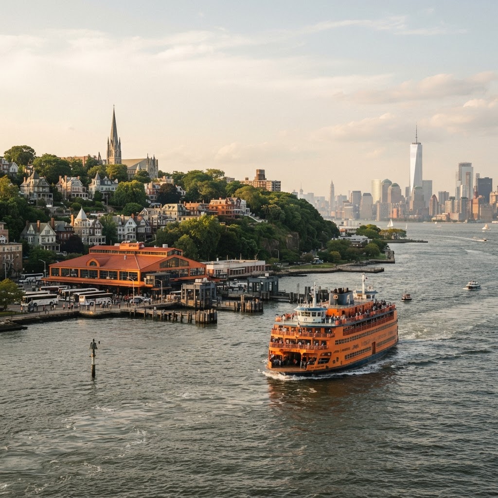
Staten Island sits at the mouth of New York Harbor, south of Manhattan and west of Brooklyn, and is coterminous with Richmond County. It is the least densely populated borough, with a suburban feel, a large park system and a shoreline that runs from the Verrazzano-Narrows Bridge to Tottenville.
History
The island was inhabited by Lenape communities and settled by Dutch and English farmers in the 17th century, remaining largely rural into the 20th century. The Verrazzano-Narrows Bridge, opened in 1964, tied it to Brooklyn by road, and the Staten Island Ferry has connected St. George with Lower Manhattan since the 18th century.
Local Character
Staten Island combines waterfront neighborhoods near the ferry terminal, established residential districts along the North Shore, and more suburban communities on the South Shore around New Dorp, Great Kills, Eltingville and Tottenville. The Greenbelt preserves a band of woodland through the island's center.
Restaurants & Shopping
Staten Island dining clusters along Bay Street in St. George and Rosebank, Victory Boulevard in West Brighton, New Dorp Lane, Hylan Boulevard and Amboy Road. Sri Lankan, Mexican, Italian and Albanian restaurants give the borough a distinct food map. Retail concentrates along Hylan Boulevard, Richmond Avenue, Forest Avenue and the Staten Island Mall in New Springville, with smaller neighborhood strips in Stapleton, Port Richmond and Tottenville.
Housing & Residential Environment
Staten Island is dominated by detached single-family houses, with attached rowhouses in the older North Shore neighborhoods and apartment buildings near the ferry terminal. It offers the most space per dollar in the city, at the cost of longer commutes.
Schools & Education
Public schools are run by the New York City Department of Education, with selective programs including Staten Island Technical High School. The College of Staten Island, part of CUNY, is the borough's main higher-education institution, and Wagner College sits on Grymes Hill.
Parks & Recreation
The Staten Island Greenbelt includes High Rock Park, LaTourette Park and the Greenbelt Nature Center. Conference House Park at the island's southern tip, Clove Lakes Park, Silver Lake Park, Wolfe's Pond Park and the Franklin D. Roosevelt Boardwalk provide waterfront and woodland recreation.
Transportation
The Staten Island Ferry runs between St. George and Whitehall Terminal in Manhattan, and the Staten Island Railway links St. George with Tottenville. Limited-stop and express buses connect to Brooklyn subway stations, and the Verrazzano-Narrows Bridge carries I-278 to Brooklyn.
Neighborhoods & Communities
Getting Around Staten Island
The Staten Island Ferry runs between St. George and Whitehall Terminal in Manhattan, and the Staten Island Railway links St. George with Tottenville. Limited-stop and express buses connect to Brooklyn subway stations, and the Verrazzano-Narrows Bridge carries I-278 to Brooklyn.
Local Businesses
Neighborhood businesses along Forest Avenue, Victory Boulevard, Bay Street, New Dorp Lane and Amboy Road include pizzerias, delis, bakeries, contractors, auto shops, medical practices and family-run retail stores.
No businesses are listed in Staten Island yet. Add your business to be the first.
Popular Attractions
- Staten Island Ferry
- Snug Harbor Cultural Center & Botanical Garden
- Staten Island Greenbelt
- Conference House Park
- Historic Richmond Town
- Franklin D. Roosevelt Boardwalk
Frequently Asked Questions
Is Staten Island the same as Richmond County?
Yes. Staten Island is a borough of New York City and is coterminous with Richmond County.
Is the Staten Island Ferry free?
Yes. The ferry between St. George and Whitehall Terminal in Manhattan is free and runs 24 hours a day.
Do you need a car on Staten Island?
Most residents keep a car. The borough is served by the Staten Island Railway, buses and the ferry, but many neighborhoods are easier to reach by road.